What we fly
Four ways to see the job
From a listing that needs to stand out to a tower that needs a close look without a climb, every flight is planned around what you need to see and who needs to see it.
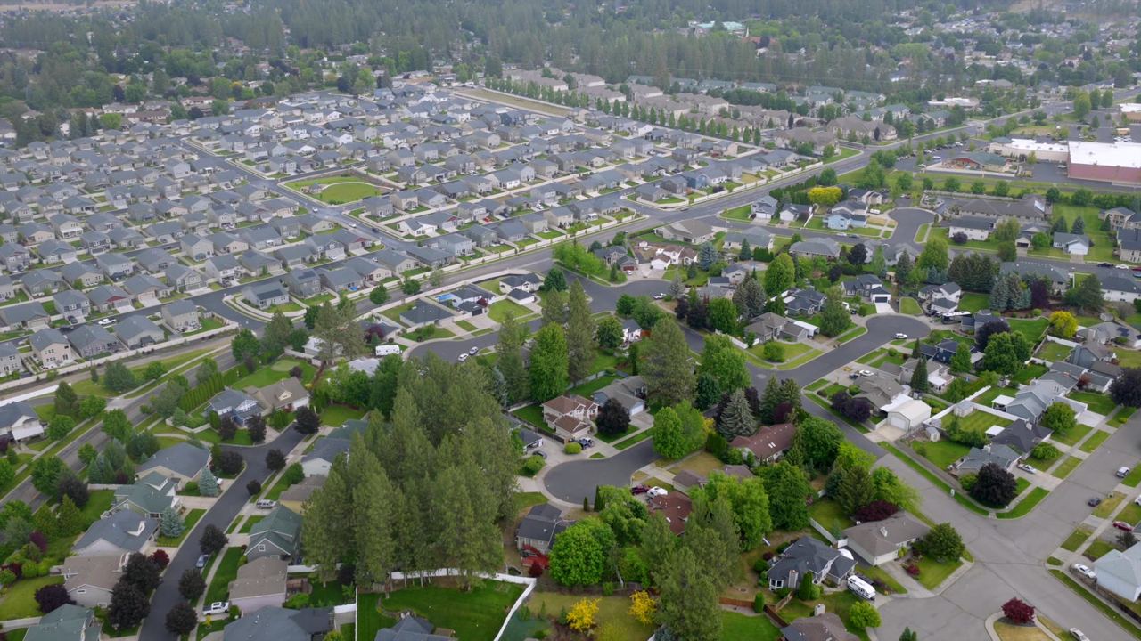
Listings · Land · Acreage
Real Estate
Show buyers the whole property, the lot lines and the neighborhood in one sweep.
- Aerial photos
- Flyover video
- MLS-ready
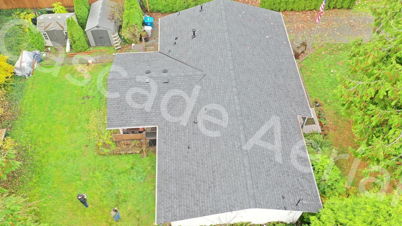
Roofing · Residential · Commercial
Roof Documentation
Close passes over every slope, ridge and vent, giving you clear photos and video of the whole roof without anyone climbing a ladder.
- Full roof coverage
- Before & after records
- Hi-res stills
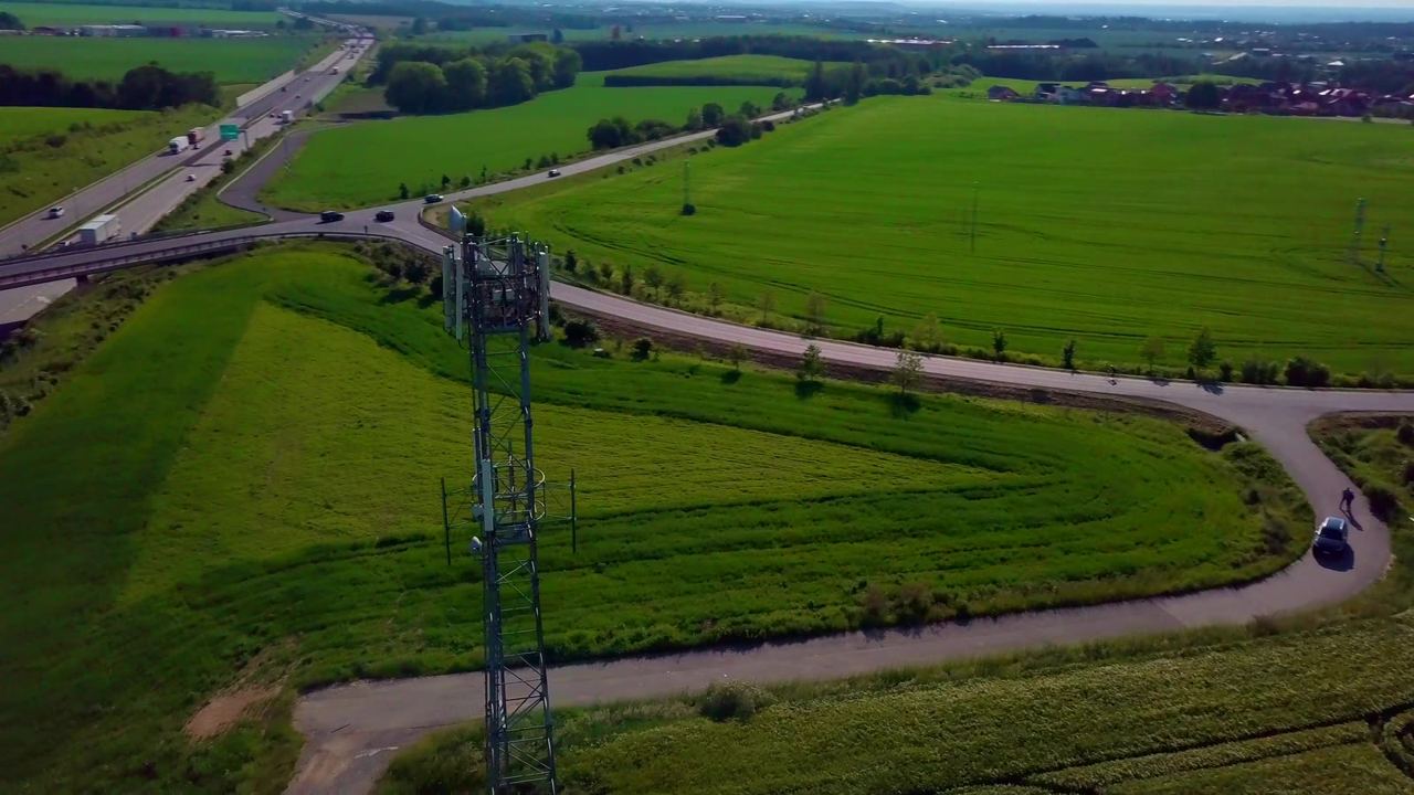
Telecom
Cell Towers
Antenna and equipment imagery captured from every side of the structure.
- Equipment detail
- 360° orbit
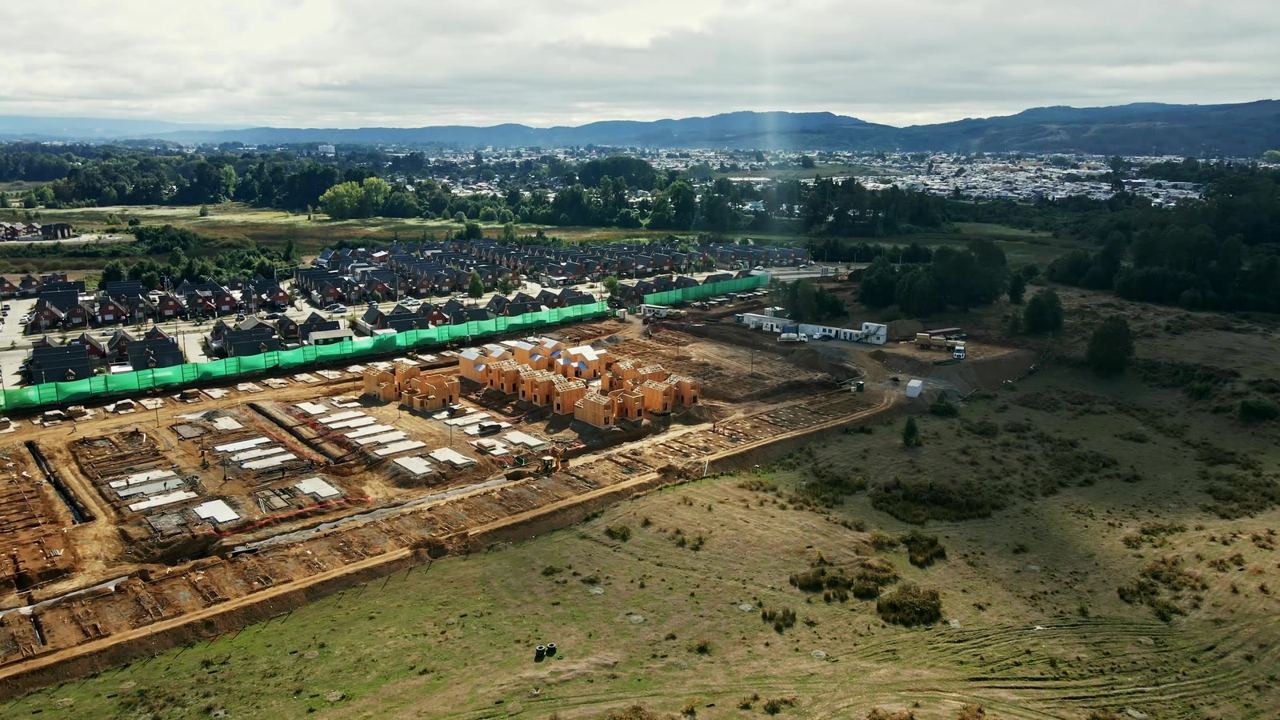
Progress · Site documentation
Construction
Scheduled flights that document progress from groundbreaking to final walk, so owners and lenders can see the site without driving out.
- Monthly updates
- Same-angle repeats
- Time-lapse